|
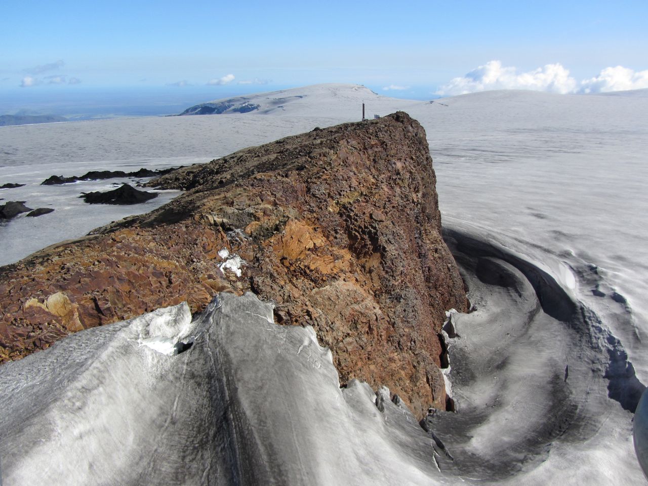
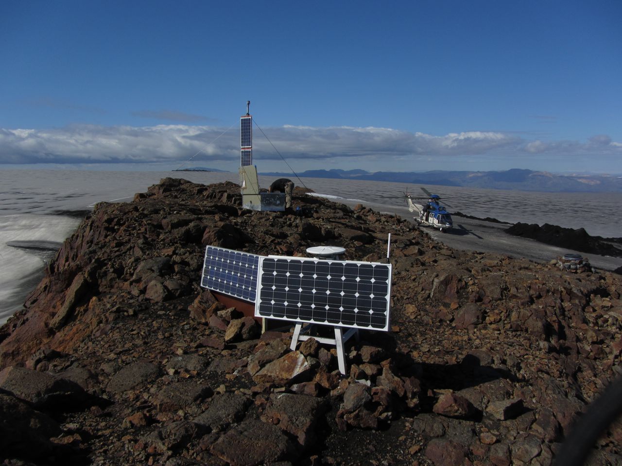
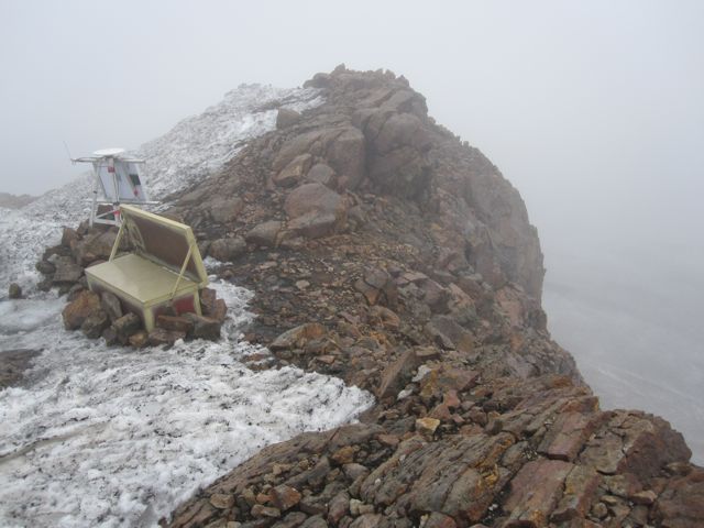
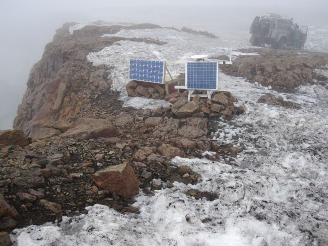
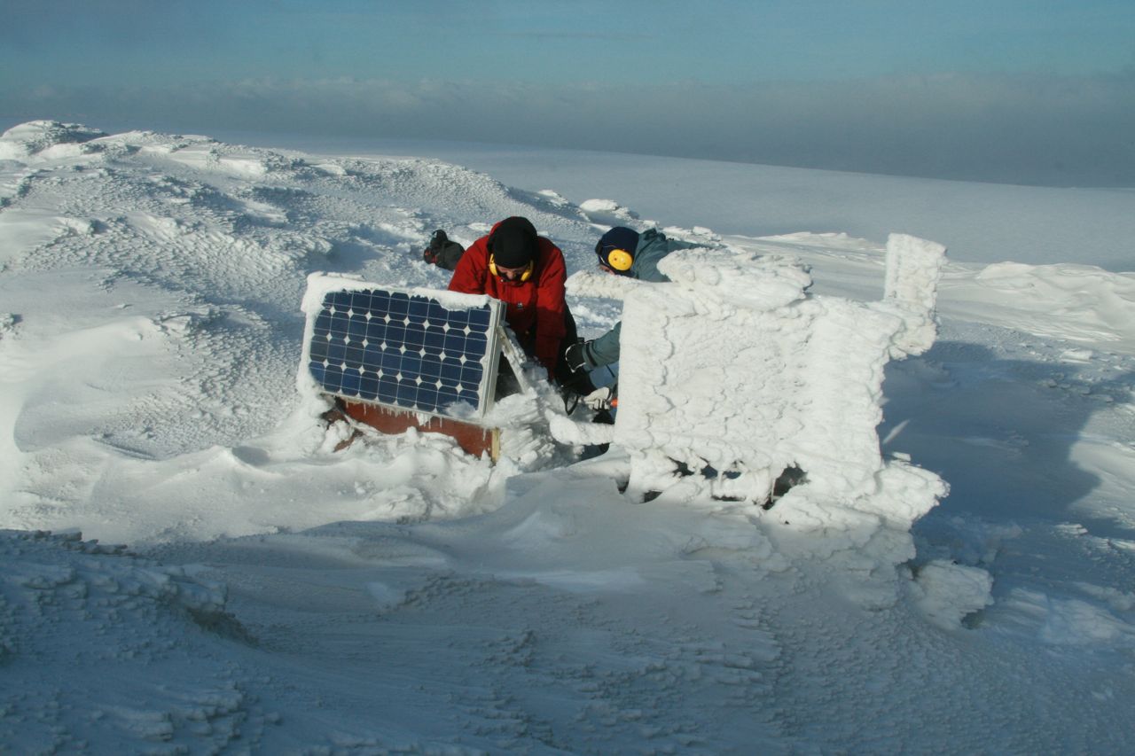
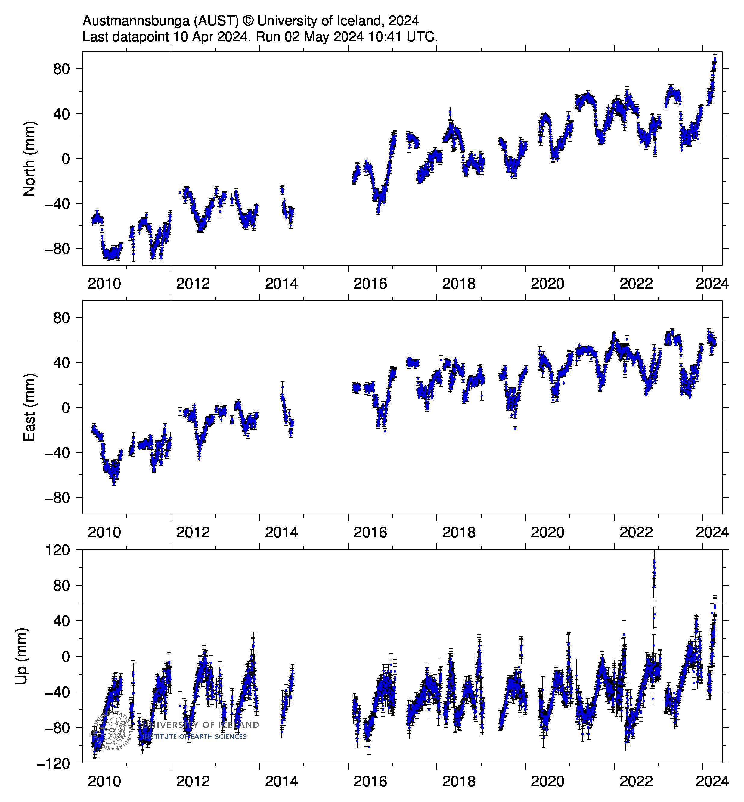
The GPS station Austmannsbunga, AUST, is operated by the Institute of Earth Sciences, University of Iceland, in collaboration with IMO and with support from RANNIS. Many thanks go to the Icelandic Coastguard for their field assistance. The GPS benchmark was installed in 1993. A steel quadropod was mounted over the point in February 2004. Semi continuous measurements at the site began on the 26. March 2010 in response to the Eyjafjallajokull flank eruption (20. March) and have continued to the present.
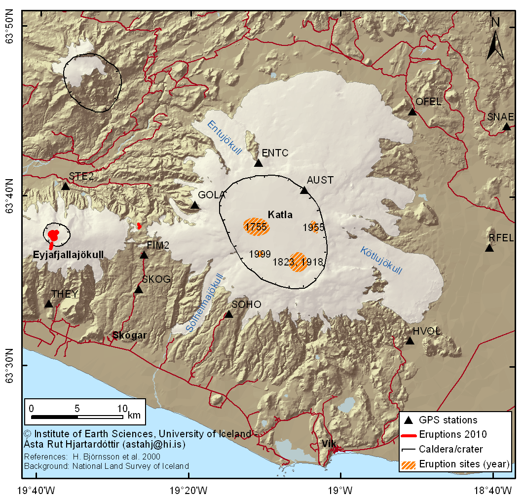
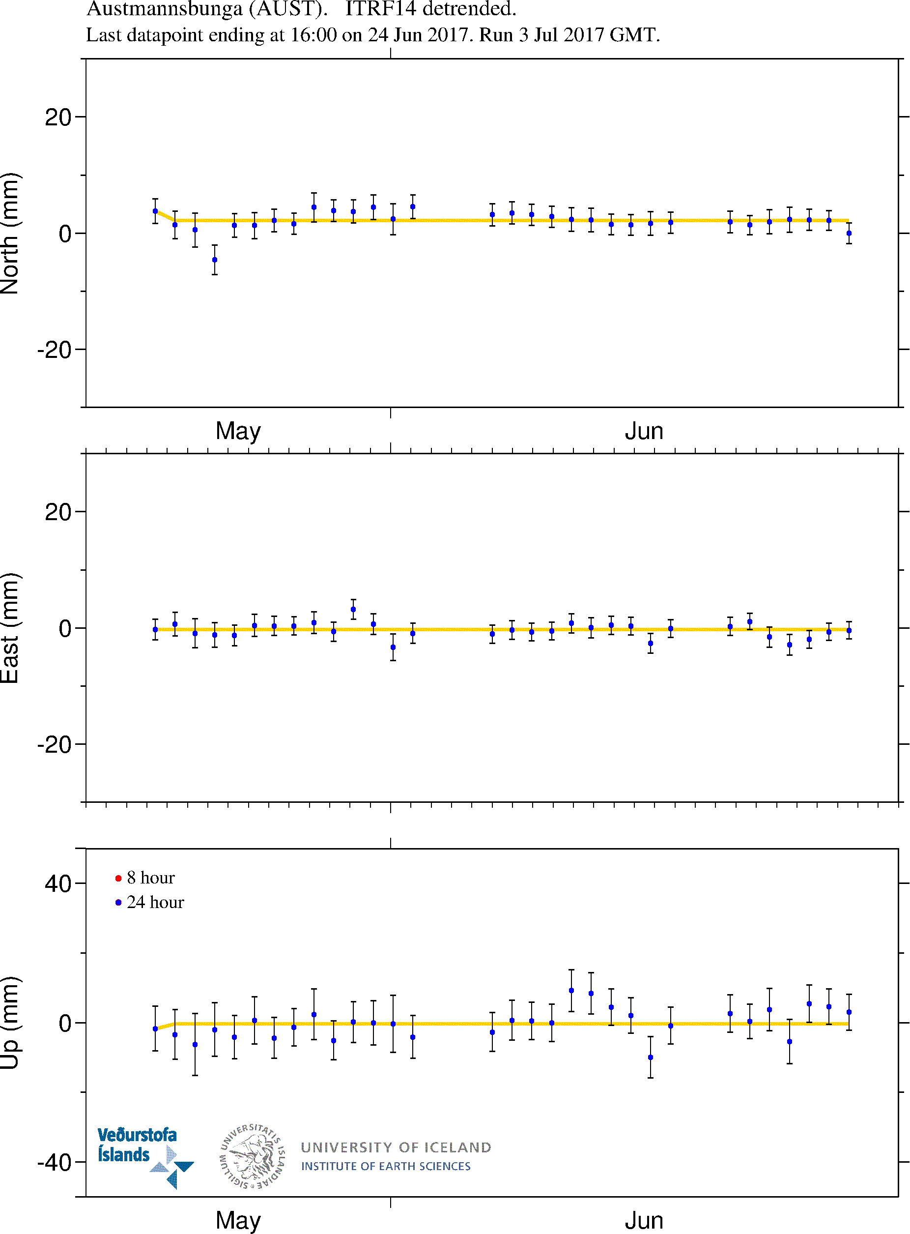
The data were analyzed at the University of Iceland using the GAMIT/GLOBK analysis software using over 100 global reference stations to determine stations coordinates in the ITRF05 reference frame. Here we show detrended time series for the North, East and Up components (in millimeters). The GPS time series are detrended using linear terms estimated from 2001-2009 campaign GPS data. The red thick line show 20. March and 14. April 2010, the red thin lines show 9. July and 6. September 2011. For more information contact Sigrun Hreinsdottir, IES |
Click on plots for more details. Blue dots are 24 hour solutions & yellow dots are 8 hour solutions
 |
 |