|
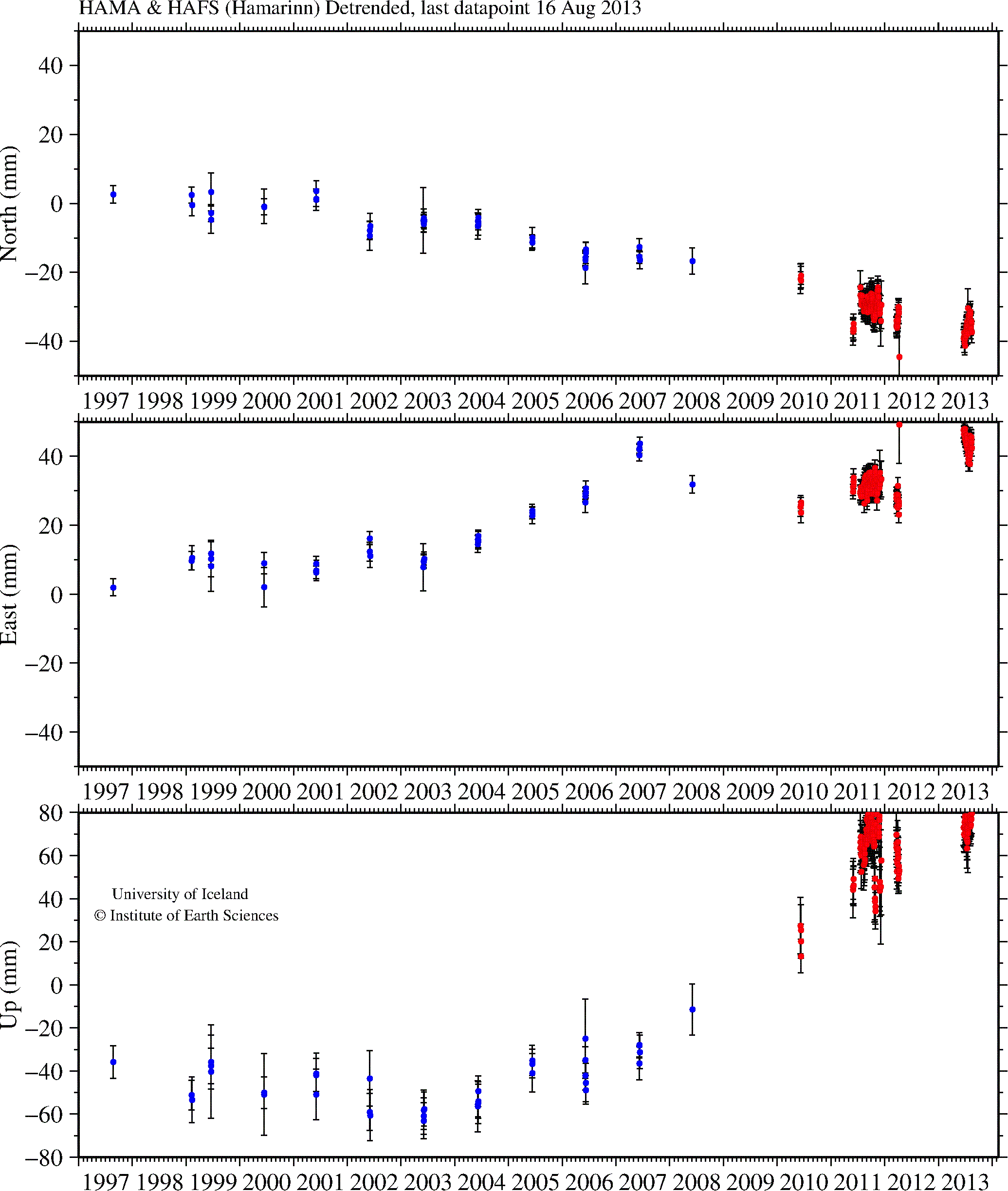
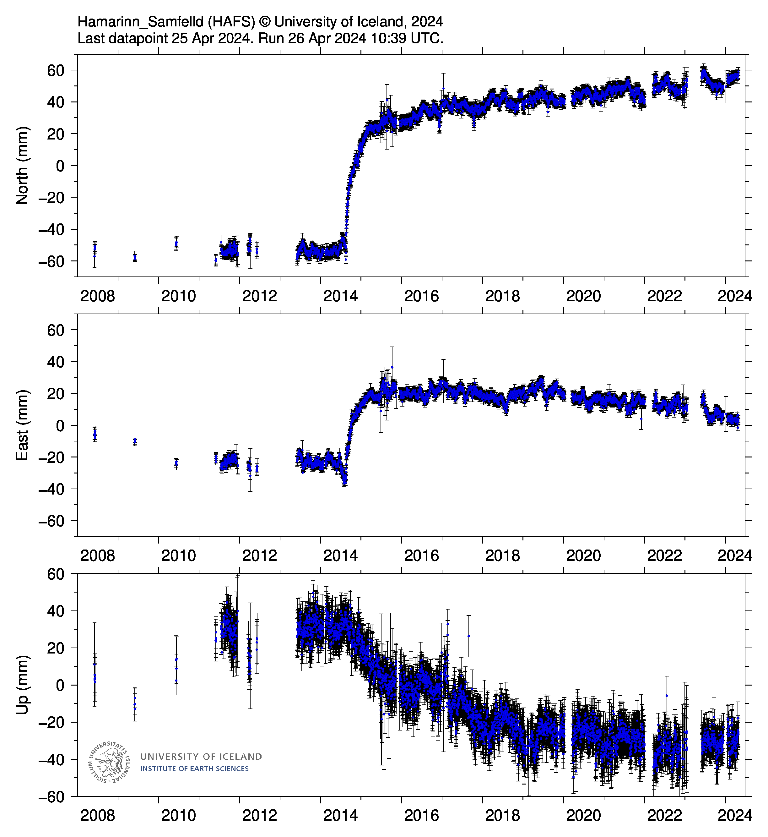
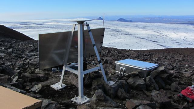
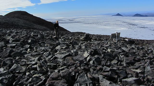
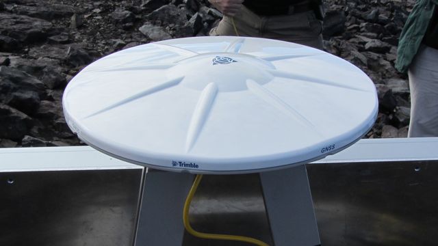
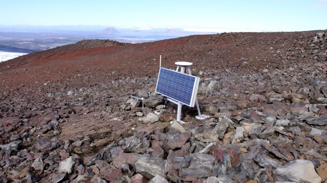
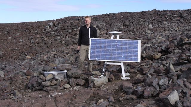
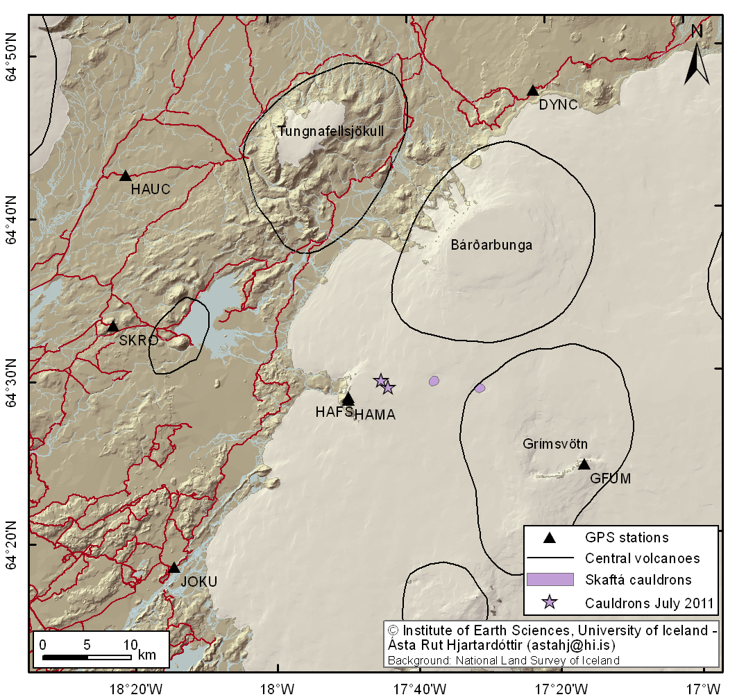
GPS time series for Hamarinn. HAMA is a benchmark 270 meters away from the semi continuous
station HAFS. The operation of the semi continuous GPS station is a collaborative effort between the Institute of Earth Sciences (IES), University of Iceland, Icelandic Meteorogical Office (IMO), and the Iceland Glaciological Society (JORFI) with support from Rannis equipment fund. Many thanks go to the Icelandic Coastguard for their field assistance. This page contains scientific data and results from the staff of the Institute of Earth Sciences and various collaborators. The data is posted timely to give maximum information for monitoring purposes. The data were analyzed at the University of Iceland using the GAMIT/GLOBK analysis software using over 100 global reference stations to determine stations coordinates in the ITRF05 reference frame. Here we show detrended time series for the North, East and Up components (in millimeters). For more information contact: Sigrun Hreinsdottir, IES Benedikt Gunnar Ofeigson, IMO |